New - 15 Mins Ago




A new bus line between Raleigh and Cary might sound like a project that mainly changes how people commute.
But near Jones Franklin Road, the latest Western Bus Rapid Transit drawings show something more substantial: an entirely new stretch of Western Boulevard.
The proposed road would connect Jones Franklin Road with the Bashford Road and Saddle Seat Drive area. And while most of the nearly 12-mile BRT route would use existing public roadways, Raleigh says some property impacts along this new connection could be considerably larger.
Raleigh has completed Western BRT's 30% design milestone. Its October 29, 2026 update makes the preliminary roadway and station designs available for public feedback.
The drawings show proposed center-running stations near NC State, a station-access structure at Pullen Road and different bus-lane arrangements along Western Boulevard. In downtown Cary, the end-of-line station still needs a final location.
The Fall 2026 project handout describes almost 12 miles of service with up to 20 planned stations, connecting downtown Raleigh with downtown Cary.
Buses aren't expected to begin operating until 2032.
For someone considering a home near the route, though, the drawings already raise practical questions about roads, property access and how easily a future station could be reached on foot.
Most of Western BRT would follow roads people already know.
From downtown Raleigh, the route would use Western Boulevard before continuing through a new road connection toward Cary Towne Boulevard. It would then follow Maynard Road and Chatham Street into downtown Cary.
The proposed Western Boulevard Extension stands apart from the rest.
Raleigh's 30% design drawings show the new roadway running between Jones Franklin Road and the Bashford Road/Saddle Seat Drive area.
Building that connection would require more than space for buses. The designs include roadway infrastructure, intersections, sidewalks and drainage improvements.
According to the City's Western Corridor FAQ, much of the overall project is expected to fit within existing public right-of-way.
Right-of-way is land designated for public transportation infrastructure.
Along existing streets, some private-property impacts may involve relatively small areas needed for sidewalks, drainage or other improvements.
The proposed extension is where Raleigh anticipates some substantially larger impacts.
That makes the preliminary route particularly relevant to anyone living near Jones Franklin Road, Bashford Road or Saddle Seat Drive.
Imagine considering a house close to the planned extension. The route map shows a proposed roadway nearby, but it doesn't establish exactly where a future property boundary would fall or whether a particular parcel would be acquired.
Those answers require more detailed engineering.
The 30% drawings expressly identify right-of-way widths, locations and driveway information as preliminary.
Raleigh says it will contact owners concerning property purchases after the project reaches 60% design and completes the required environmental review.
For now, the drawings establish the proposed alignment and potential areas of concern, not final acquisition decisions or compensation amounts.
Elsewhere along Western Boulevard, the plans reveal a different kind of change: where passengers would board and how they would reach the stations.
Western BRT won't use the same station arrangement everywhere.
Near NC State, the detailed plans show proposed center stations around Dan Allen Drive and Morrill Drive.
Instead of boarding from a conventional curbside stop, passengers would approach platforms in the middle of Western Boulevard.
A resident walking from a nearby street, or a student coming from campus, would need to use the designated crossings and approaches to reach the platform.
Farther along the same corridor, the Clanton Road and Kent Road area shows proposed side stations.
Those platforms would sit along the sides of the roadway rather than in its center.
Near Pullen Road, the drawings show a proposed center station with an elevator and stair tower.
That's a more substantial access arrangement than an ordinary sidewalk bus stop.
The surrounding area includes NC State, Pullen Park and connections toward central Raleigh. The planned station would serve a busy part of the corridor, but the precise route someone would walk from a nearby home still depends on the finished crossings and pedestrian approaches.
The elevator and stair tower are features of the preliminary design, not existing infrastructure.
The Cary end of the route presents another distinction.
On East Chatham Street, the 30% plans show proposed side stations near the existing fire-station area.
But the terminal is separately labeled "End of line station to be determined" near the area of a future downtown Cary multimodal facility.
So the route toward downtown Cary is established at the corridor-planning level, while that final terminal location remains unresolved.
Cary's Western Corridor project page identifies Raleigh as project sponsor and Cary as its implementation partner.
The regional map also places the route in relation to NC State, Pullen Park, Dorothea Dix Park, Fenton and Cary Depot.
Those are useful geographic reference points. They aren't a promise of a station at every destination shown on the map.
For someone considering a home near downtown Cary, the final terminal location and the streets leading to it could make a difference in how convenient the service becomes.
The planned roadway design changes along the corridor, too.
Western BRT is intended to provide frequent, reliable service, but that doesn't mean buses will travel in physically separated lanes for all 12 miles.
Raleigh's Western Design and Construction page and Fall handout describe three different arrangements.
Median runningways place dedicated bus lanes in the center of the street, separated from general traffic.
Business Access and Transit lanes, or BAT lanes, are designated for buses while also allowing other vehicles to enter them to reach driveways.
Mixed-traffic sections place buses in ordinary travel lanes alongside other vehicles.
For people who regularly drive along Western Boulevard, those differences are more than transportation terminology.
A median-running section has different turning, crossing and station-access considerations from a road where buses share a lane with cars.
A BAT lane accommodates access to adjacent properties, but its presence alone doesn't guarantee that every driveway or turning movement will remain unchanged.
The plans also include traffic-signal priority intended to help buses through intersections, along with larger shelters and platforms.
The City hasn't established a final travel time, operating timetable or precise lane arrangement for every segment.
Those details will be refined as engineering advances.
And there's another part of the transit trip the roadway drawings don't settle: the streets between the station and someone's front door.
Consider two homes near Western Boulevard.
One has a connected sidewalk leading toward a proposed station crossing.
The other is a similar distance away on a map, but reaching the stop could require a longer route along side streets or through an inconvenient intersection.
The straight-line distance may be nearly identical. The walking experience isn't.
That's why Raleigh is conducting a separate Western Station Area Planning effort.
The BRT engineering project determines the transit route, stations and roadway improvements. Station-area planning examines how surrounding neighborhoods could connect to those stops, along with broader land-use and community-development questions.
The October 2026 station-area maps show what planners are considering.
One map identifies proposed stations at Avent Ferry, Pullen, Hunt and Saunders. It includes recommended pedestrian connections near the Hunt station and Dorothea Dix Park area, along with bicycle improvements on Avent Ferry Road.
Another identifies proposed Blue Ridge, Clanton and Varsity stations, with recommended connections extending onto streets around Western Boulevard.
The map uses separate symbols for proposed stations, recommended pedestrian improvements, bicycle improvements and individual locations needing attention.
Those distinctions matter. A recommended sidewalk or bicycle connection isn't necessarily funded, approved for construction or completed.
Still, the maps make it possible to ask a more useful question about a home near the corridor.
Would the trip to the proposed station follow an existing sidewalk, require a safer crossing or depend on a neighborhood connection that's still being planned?
Raleigh is also using the station-area process to consider housing affordability, business stability and future land use.
That planning hasn't established income-restricted housing commitments or zoning changes near the stations.
For broader comparisons, HomesRaleigh's walkable-neighborhoods guide looks at the everyday routes between homes and local destinations.
The Western BRT maps add a future transit project to that calculation, with enough detail to show where connections are being proposed and where questions remain.
GoTriangle already operates Route 300, connecting Cary Depot, the NC State and Western Boulevard area, and Raleigh Union Station Bus, or RUS Bus.
The October 2026 Route 300 schedule lists Western Boulevard at Dan Allen Drive as a timepoint toward Raleigh.
In the return direction, it lists Western Boulevard at Morrill Drive.
Those are existing service locations, not confirmations of where the future BRT platforms will ultimately be built.
For someone considering a home because they want to commute without driving every day, Route 300 provides an immediate way to evaluate the trip.
The published schedule shows available service by direction and day. It also makes clear whether the route works for someone's actual work hours.
GoTriangle's maps and schedules provide the current operating information.
A home might offer convenient access to today's Route 300, the future BRT line or both. Those should be evaluated separately rather than treating a projected 2032 service as something a household can already use.
The City's Fall 2026 materials and its project schedule don't give exactly the same construction-start year.
The Fall 2026 handout anticipates construction beginning in 2029, contingent on federal funding.
The City's Western Design and Construction page, updated September 17, instead identifies 2030 as the anticipated start.
Both point to 2032 for the start of operations.
The City has published two construction-start estimates, not a confirmed date.
The City completed the 30% design milestone in summer 2026 and presented the drawings during its fall outreach.
Following feedback on the 30% plans, engineers are expected to advance toward 60% design and refine the construction cost estimate needed before a Federal Transit Administration grant agreement can be finalized.
Raleigh separately anticipates completing the environmental review in summer 2027. The project still has no finalized federal grant agreement or guaranteed opening date.
Raleigh held three public design meetings in October 2026, at Method Community Center, Pullen Community Center and Downtown Cary Park.
Those events took place October 7, 14 and 20.
The City also links a Western BRT feedback survey containing project information, map-comment tools and questions about bus use and station access. Anyone intending to submit feedback should check whether the survey is still accepting responses.
Raleigh identifies Gabriel Wilkins as the planning project manager and Ben Henderson as the engineering and construction contact.
For a resident concerned about a proposed station or how neighborhood streets connect to it, the planning and station-area materials provide a starting point.
For an owner near the Western Boulevard Extension, the detailed roadway drawings and future property-acquisition process are particularly important.
The September 2026 30% design rollplots show far more than the simplified route map. They identify proposed platforms, road geometry and preliminary right-of-way information.
HomesRaleigh's existing Raleigh housing and transportation bond coverage addresses separate investments, including Southern BRT.
For a home near the proposed extension, the preliminary right-of-way and driveway notes are worth taking to Raleigh's engineering team. Near a planned station, it's the crossings and neighborhood connections that deserve a closer look. The 30% plans show where to begin; later engineering will determine the final details.
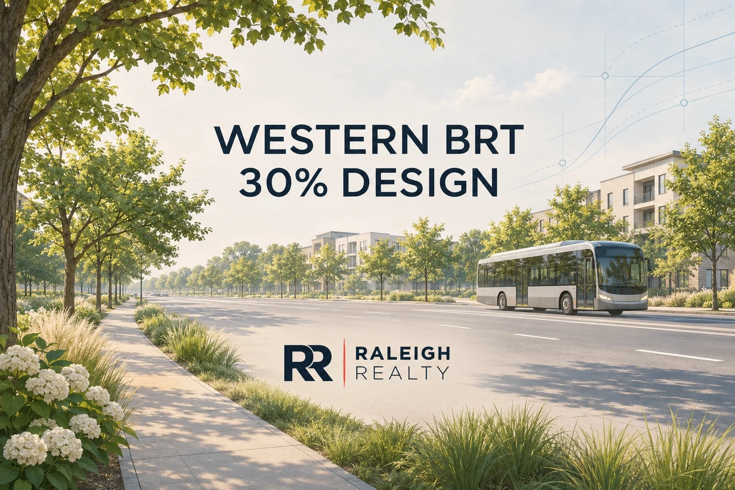
Conceptual editorial illustration; not a photograph, approved design or depiction of an actual property or project.