New - 7 Hours Ago



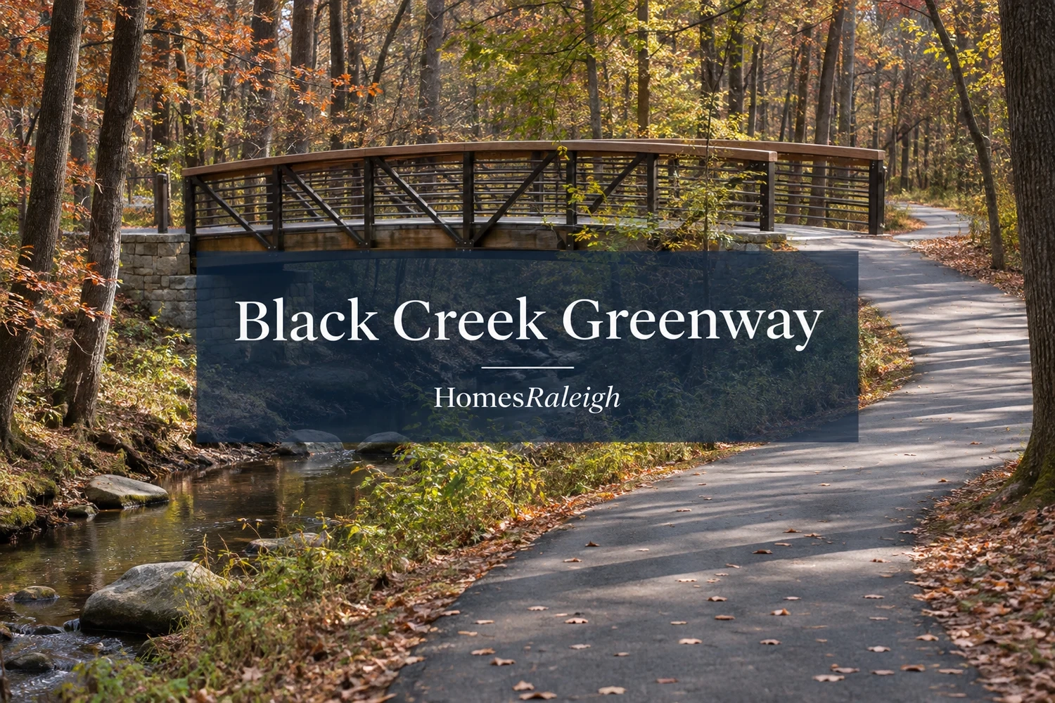
Cary's Black Creek Greenway is connected again after a major renovation finished seven months ahead of schedule. But for someone buying a home nearby, the newly reopened trail raises a practical question: Can you actually reach it from the neighborhood?
In its November 2, 2026 announcement, the Town of Cary confirmed the reopening following improvements to approximately 2.5 miles of Black Creek Greenway.
That work restores the full 7.1-mile route connecting the Old Reedy Creek Road trailhead near Lake Crabtree with Fred G. Bond Metro Park.
For residents who regularly walk or cycle through northern Cary, the completed project removes a lengthy construction interruption. For buyers, it makes the location of public trail entrances more relevant than a property's straight-line distance to the greenway.
Construction began June 4, 2024, on the stretch between West Dynasty Drive and Old Reedy Creek Road and proceeded through three phases.
The town reports several improvements:
The project also included bridge improvements along the corridor. The 12-foot width applies to the renovated section, not necessarily every older stretch of the greenway.
Cary's Black Creek Greenway renovation project page provides additional construction background. Its older closure notices describe phases that have now been completed.
Black Creek Greenway runs through several parts of Cary, linking residential areas, public parks and other recreational routes.
The Town of Cary's official greenway page and map identify public trailheads and connections along the route.
Three entrances provide useful reference points for someone comparing neighborhoods.
Old Reedy Creek Road Trailhead: Near Lake Crabtree, this is the northern end of Black Creek Greenway and a starting point for connections toward other regional trails.
North Cary Park: The park provides public trail access, with a 0.4-mile connector between its trailhead and Black Creek Greenway. Someone using the park entrance needs to account for that additional distance.
Black Creek Trailhead near Godbold Park: This trailhead is across NW Maynard Road from Godbold Park. It provides another public access point along the greenway's route through Cary.
Farther south, Fred G. Bond Metro Park offers access from its boathouse and community center parking areas. Black Creek also connects with White Oak Creek Greenway at Bond Park, allowing longer trips through the trail network.
The route includes sidewalks and street crossings, which can change how someone reaches or follows the trail.
Cary lists Black Creek Greenway as available from dawn to dusk for walking, running, cycling, strollers, leashed dogs and wheelchair use.
The town also warns that some sections may be too steep for wheelchair use. Improvements to the northern section don't guarantee the same grade or accessibility throughout the full route.
Imagine two Cary homes that appear equally close to Black Creek Greenway on a real estate map.
One has a sidewalk route leading to a designated public entrance.
The other backs toward the trail, but reaching the nearest public access point requires traveling around several neighborhood streets.
A greenway running behind a yard doesn't automatically provide a private entrance. Buyers need to find the designated public connection and determine how to reach it from the property.
A home near Dynasty Drive may warrant a closer look at the new connection Cary completed during the renovation.
For someone planning to use the greenway regularly, the route should fit the activity.
A person taking an evening walk may care most about the nearest public entrance. A family using bicycles or a stroller may also want to examine sidewalks, street crossings and slopes between the house and the trail.
Start with Cary's official Black Creek Greenway map and locate the public entrances closest to a property you're considering.
Then follow the actual route from the home to that entrance, including sidewalks, crossings and any slopes that may affect how your household would use the trail.
Check Cary's current greenway notices before visiting in case separate maintenance work or temporary access changes affect the route.
HomesRaleigh's Cary neighborhoods guide provides broader residential context, while the Cary vs. Apex comparison discusses parks and everyday living in both towns.
Once you've identified the section of Black Creek Greenway you'd use most, you can browse Cary homes for sale and compare properties in the surrounding neighborhoods.
The citywide search doesn't verify trail access for individual listings, so use Cary's public map to check the route from any home that interests you.
If you'd like help comparing homes near a particular Black Creek Greenway trailhead, you can also contact HomesRaleigh.
Conceptual illustration of a wooded greenway.